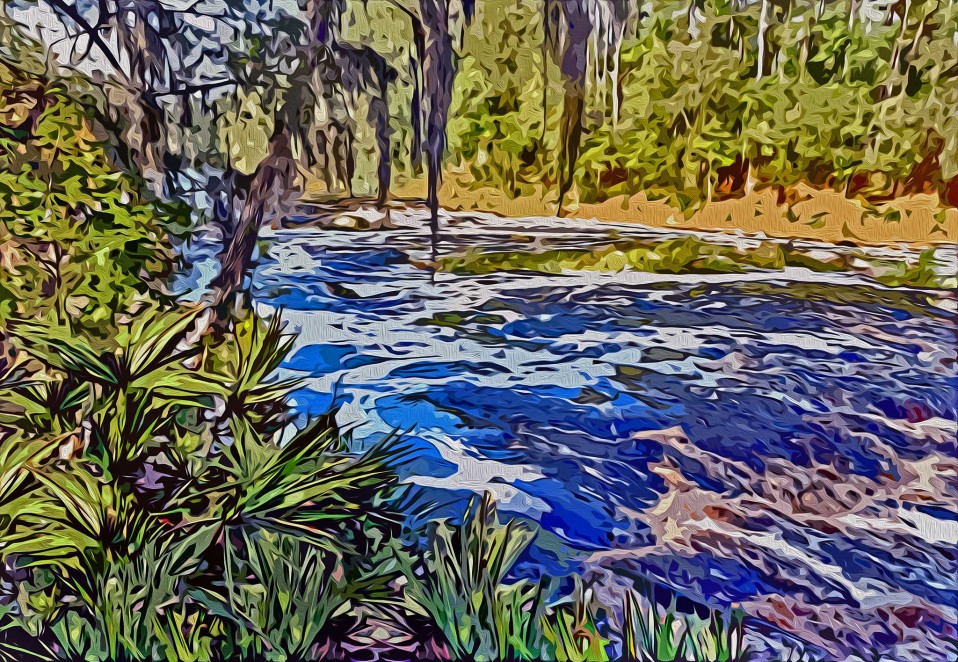
The vast majority of the rivers in north Florida and the panhandle begin in Georgia and flow through the state on their way south to the Gulf of Mexico. In Florida, they cross the Cody Scarp—the ancient shoreline formed during the glacial events of the Pleistocene when sea levels were rising and falling. North of the scarp are the rolling hills of the Northern Highlands, and to the south is the flat and low-lying Gulf Coast Lowlands. The lowlands have only a thin layer of sandy soil over limestone and this type of karst typography is why the region is peppered with springs and sinkholes. When the rivers flowing south reach the scarp they typically sink and fall underground where, eventually, they are able to push their way back up and above ground. The best place to see the geologic process in action is on the Santa Fe River where the river goes underground in O’Leno State Park—and reemerges as a circular pool over three miles away in River Rise State Park. Back in ancient times, the Suwannee River sank and rose the way the Santa Fe does, but the Suwannee is a much older and bigger river. Over time, the Suwannee pushed its way over the land bridge and eventually created the river’s rapids, known as Big Shoals. If you’re not into paddling Florida’s only Class-3 Rapids, there’s a wonderful hiking trail along the river to the shoals just outside of the Town of White Springs. [P.S. In the 1990s, I started thinking “Cody Scarp” would be a great name for a Gainesville Band. I bet Tom Petty would agree!]
Small: 7” X 10” – $100.00 | Medium: 40” X 28”- $315.00 | Large: 60” X 42” – $700.00


